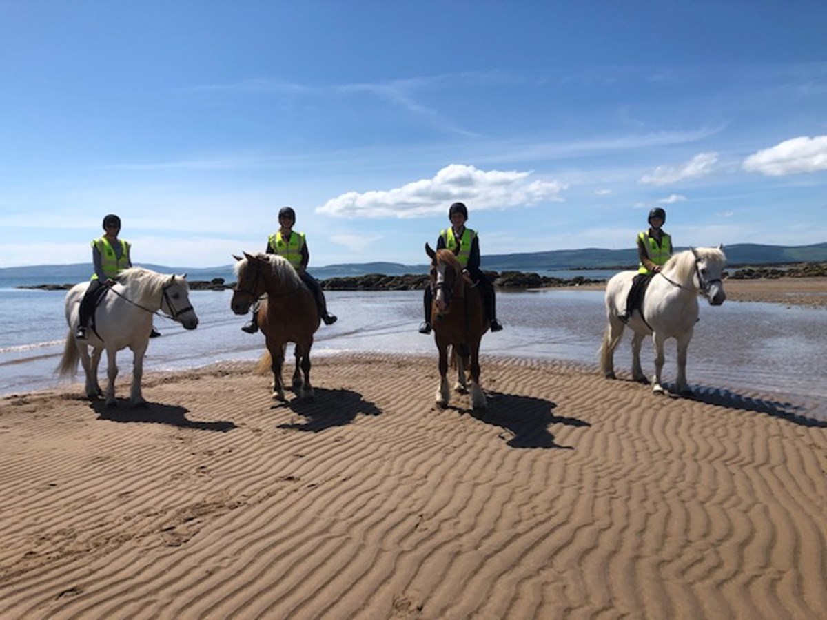
Browse through the categories or search by the various regions and be inspired to plan a memorable trip to Arran so you have the best island time... in no time.
Plot & Plan
Planning ahead, or looking for ideas whilst you are here? Our interactive map will help you find all the accommodation, activities, things to do and places to eat across the island.
Where do you want to go?
Filter and search our map
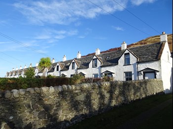
Catacol Cottages
Craigard Catacol KA27 8HN
These properties have been fully refurbished by new owners. Catacol is west facing with sea views and fabulous sunsets over the Mull of Kintyre, Located just yards from the shore, with a jetty for swimming.Two miles to the Lochranza ferry for day trips on Kintyre. Changeovers on Fridays in high season. Short breaks with flexible start date out of high season. Always enquire. No smoking or vaping.
More InfoGallery


Quirky Island Fact
#20 - Arran has Scotland's First No Take Zone
The Community of Arran Seabed Trust (COAST) is a local charity and was established in 1995 by local divers, Howard Wood and Don McNeish, who had noticed the depletion of species on the seabed. The No Take Zone at the north end of Lamlash, was eventually created, after much campaigning, in 2008, and COAST were instrumental in then establishing the Marine Protected Area (MPA) which covers the coast around the south of Arran.
©VisitArran Ltd 2026. All rights reserved.
Registered Company No: SC315512 | Registered address: Brodick, Isle of Arran KA27 8AU
Registered Company No: SC315512 | Registered address: Brodick, Isle of Arran KA27 8AU