Browse through the categories or search by the various regions and be inspired to plan a memorable trip to Arran so you have the best island time... in no time.
Plot & Plan
Planning ahead, or looking for ideas whilst you are here? Our interactive map will help you find all the accommodation, activities, things to do and places to eat across the island.
Where do you want to go?
Filter and search our map


Drumadoon
Shore Road Blackwaterfoot Isle of Arran KA27 8HA
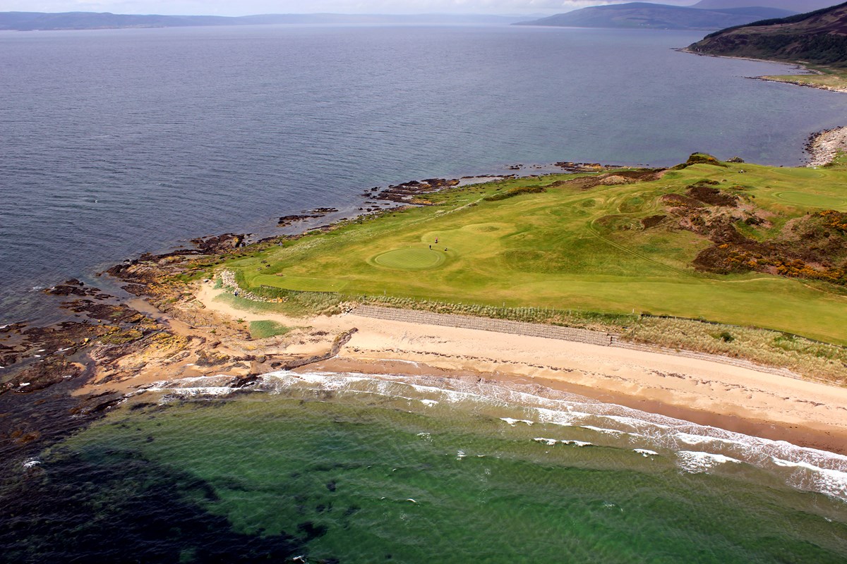
Located by the sea on the Southwest coast of Arran, close to Blackwaterfoot Village, Drumadoon looks across the Kilbrannan Sound to the Mull of Kintyre. On a clear day you can even make out the mountains of Northern Ireland on the horizon. Only a small part of the Estate land is farmed, the Farm grows barley for the Arran Distilleries, and also raises sheep, and cattle. The true value of Drumadoon lies in it’s stunning location, the Geology, Archaeology, Historic Monuments, Nature and the Wildlife. Most of the land is classified as an SSSI, SPA, or Scheduled Monument, and the surrounding sea is a Marine Protected Area. The site contains Sea Caves (including the historic King’s Cave), a 1km long Neolithic Cursus Monument, Bronze Age Farm settlements, and a large Iron Age hill fort on top of the sea cliffs. Seals and otters are regularly seen along the shoreline, as well as occasional sightings of dolphins and basking sharks. The sea cliffs are an important nesting site for many species of sea birds. The hill and moorland are home to red deer, short-eared owls, buzzards, kestrels and hen harriers, and barn owls live in the farm buildings.
More InfoGallery






Quirky Island Fact
#20 - Arran has Scotland's First No Take Zone
The Community of Arran Seabed Trust (COAST) is a local charity and was established in 1995 by local divers, Howard Wood and Don McNeish, who had noticed the depletion of species on the seabed. The No Take Zone at the north end of Lamlash, was eventually created, after much campaigning, in 2008, and COAST were instrumental in then establishing the Marine Protected Area (MPA) which covers the coast around the south of Arran.
Quirky Island Fact
#20 - Arran has Scotland's First No Take Zone
The Community of Arran Seabed Trust (COAST) is a local charity and was established in 1995 by local divers, Howard Wood and Don McNeish, who had noticed the depletion of species on the seabed. The No Take Zone at the north end of Lamlash, was eventually created, after much campaigning, in 2008, and COAST were instrumental in then establishing the Marine Protected Area (MPA) which covers the coast around the south of Arran.
Quirky Island Fact
#20 - Arran has Scotland's First No Take Zone
The Community of Arran Seabed Trust (COAST) is a local charity and was established in 1995 by local divers, Howard Wood and Don McNeish, who had noticed the depletion of species on the seabed. The No Take Zone at the north end of Lamlash, was eventually created, after much campaigning, in 2008, and COAST were instrumental in then establishing the Marine Protected Area (MPA) which covers the coast around the south of Arran.
©VisitArran Ltd 2026. All rights reserved.
Registered Company No: SC315512 | Registered address: Brodick, Isle of Arran KA27 8AU
Registered Company No: SC315512 | Registered address: Brodick, Isle of Arran KA27 8AU